It's already 7am, but the room is dark because the curtains are closed. Everyone in the room is still asleep. Looking out from the corner of the window curtain, I can see that it's a clear day and that the top of the mountain is clearly visible. Today is the day to climb a mountain.
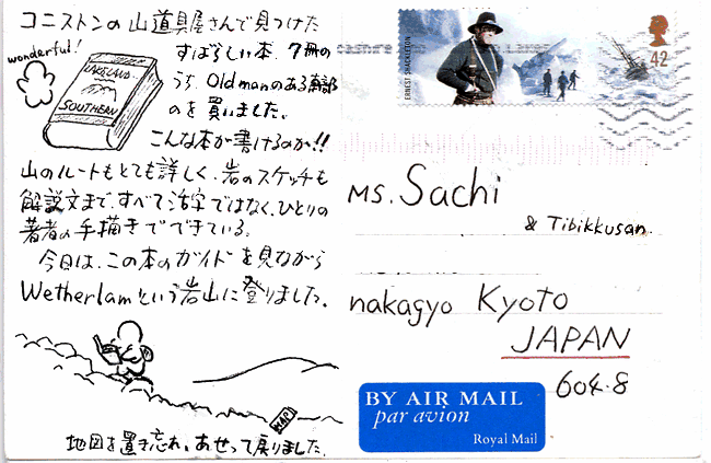
After reading the guidebook by Alfred Wainwright, I decided to climb Wetherlam this time. It is a mountain across the valley from Oldman, which I climbed the last time I came here. I found this book at a mountaineering shop in Coniston. It starts with a sketch drawn with a pen, and the route map is very detailed and well researched. Moreover, the characters are not all typed, but handwritten by Wainwright himself. Amazing! It's a wonderful book that makes I wonder how someone could research and draw so much.
I had breakfast at the same table as an Indian family. They greeted me, and I shook their hand and introduced myself. It's very rare to meet people who are not European around here. This is in stark contrast to London, where there are many Indians working.
In order to prepare food for the mountain, I waited for the bakery to open and went in. I ordered two tuna and cucumber sandwiches, which were made on the spot. They filled the tuna sandwiches right in front of me so generously that I thought I had enough. After that, I bought some drinks and canned peaches at the co-op, packed them in my backpack, and set off for the mountain.
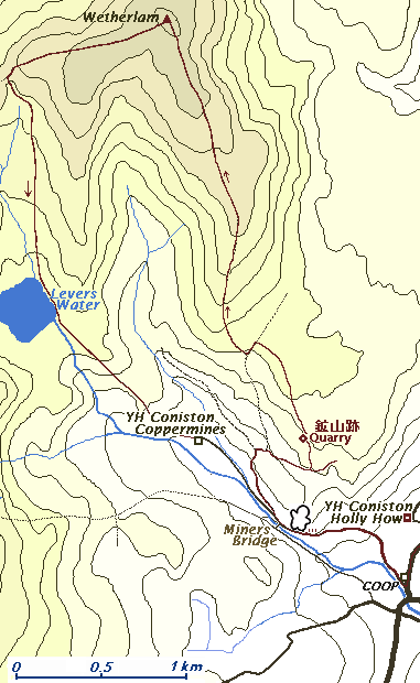
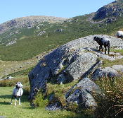
From the road next to Co-op, I headed north on the path to coppermine YH. After passing the waterfall and stone bridge, I entered the path to the mountain that climbs to the right. At first, it felt like walking on grass and was easy to walk on. There were sheep here and there sitting to avoid the hot sun. Looking back, Old Man, the Kanchenjunga, towered across the valley.
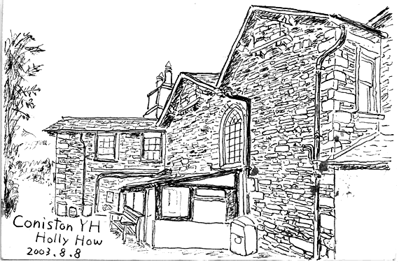
I really wanted to climb the rock mountain that towers behind HollyHowe YH, so I headed for the top of this rock mountain first. Even if I deviate a little from the main route, I can still find the footprints. I came out on top of a rock overlooking the lake and the village, but I couldn't see the YH just below. Maybe it's further north?
I returned to the hiking trail and continued climbing the path of overlapping stones. I went in to see the big hole in the former mine, and a goat there complained to me, so I bleated back at it.
However, I couldn't find the path up from here. I got stuck at the remains of the mine. I thought it was strange, so I searched my backpack and found that my important map was missing. I had left it somewhere. I hurriedly went back along the mountain trail to look for it, but no matter how far I went back, I couldn't find it. I changed my mind and went back to the top of the rocky mountain where I had made my first detour. I found it on this rock. I was relieved, but the commotion had worn me out.
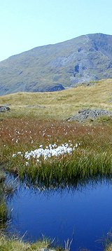
Go around the big hole in the remains of the mine from the right side and climb up. The trail is narrow, but it continues. I followed this trail, which is not a path, and found a small pond. The cotton grass(japanese"WATASUGE") was beautiful. A small marshland in such a place. There were also dragonflies. The top of the mountain is covered with grassland and there are rocks, but I can walk anywhere. I will encounter sheep here and there, and I will see a lot of sheep droppings.
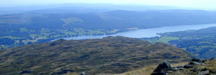
I wondered if this is what it's like when the hiking trail is just a footprint.
I could walk anywhere.
If I went down exceeding the height in order to cross a valley, just a firm way and this firm should be called mountain trail there. What I had walked along until now was the wrong route.
It seemed that the mine was written also on the book, and I had progressed that the way had stopped there. There was High Topps. Although it was a fairly high place, geographical feature even in the shape of a plateau has spread to the long distance.
The small flow became mud and had wet my shoes and socks.
I would remove it and dry. I sat down,and ate the sandwiches that it was crushed and juice has come out. Many beverages kept decreasing steadily.
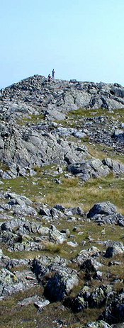
It seemed that ascent of rock ridge begins from here with a map. Even if I climbed and climbed, the following peak appeared.
Soon I arrived at the summit of Wetherlam. There was not show the summit, but I could be considered to be here from height.
The fact that there is neither a paint mark nor a guidepost as expected is.
When I look around, there were rocky mountains. Here was altitude 763m, it was the scenery which cannot be thought.
Air was not thin although it was the same as the scenery of the Japanese Alps.
I had a break, sat down and eating a canned food of a peach with two pencils.
In lake LeversWater a person who has swum was. I passed by the side of the lake, the road where the fern grows thick advanced to CoppermineYH.
The beverage was not sold there. I was said that drink a water of the river. The river it was visible cleanly, but being not to be able to drink because of the droppings of the sheep.
The dinner of YH was the full course which starts in soup,and end to an ice cream.
Van des Ful of the Belgian person and I sat down in the facing. I spoke thing of TinTin which last summer I went to Belgium.


